Main Content
Learn how to recognize key indicators of wetlands and use them in combination with hydric soil indicators to delineate wetland boundaries. Includes field exercises for hands-on practice!
Course Status Notice – Not Scheduled
We do not have an offering of this course scheduled at this time. Please join our email list to be notified when the next offering is scheduled!
Jump to: Overview | Instructor | Reviews | CE Credits | Contact Us | Related Courses | Join Email List
Course Details
Course Name: Methodology for Delineating Wetlands
Course Code: EH0401YA27
Date of Most Recent Offering: Online: September 24, 2026; In-Person Field Trips: September 28 – October 1, 2026
Course Overview
 This class is part of the Wetland Delineation Certificate Program.
Learn the methods for identifying wetlands from the experts! Using your skills developed from our plant identification North or South and Hydric Soil courses, this three-day course will introduce you to delineating wetlands using the Federal Interagency Wetland Delineation Manual, which is required for use in New Jersey. Techniques taught will also be applicable to individuals interested in using the 1987 Corps of Engineers Wetland Delineation Manual and the Regional Supplements for the Northcentral-Northeast Region and the Atlantic and Gulf Coastal Plain.
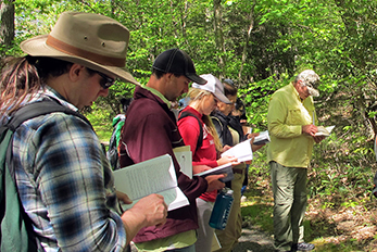
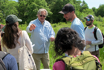
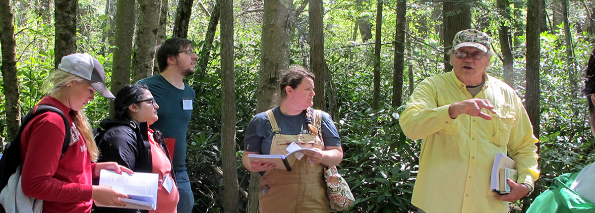
Learn how to recognize key indicators of wetlands (hydrophytic vegetation and other signs of wetland hydrology) and how to use them in combination with hydric soil indicators to follow the delineation methods outlined in the manual. You will apply the procedures and indicators covered in the online class session to perform wetland determinations during two days of field exercises.
- Vegetation: Analyze plant communities, identify dominant plants, and determine the presence or absence of hydrophytic vegetation
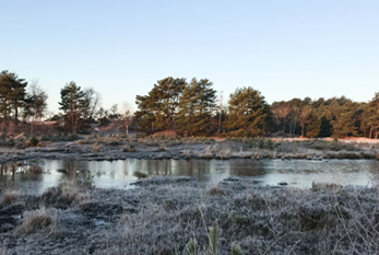
- Hydrology: Recognize direct and indirect indicators of wetland hydrology
NOTE: While the Corps Regional Supplements for the Atlantic Coastal Plain and Northeast-Northcentral Regions will not be the focus of this course, comparable indicators of hydrophytic vegetation and wetland hydrology will be presented and discussed. Both the Federal Interagency Manual and the Corps Regional Supplements utilize the 50/20 Rule for identifying dominant species to be used to determine whether the plant community is a positive indicator for hydrophytic vegetation.
PREREQUISITES: If you are planning to earn the Wetland Delineation Certificate, completion of Vegetation Identification North or South and Hydric Soils is required prior to attending this course. Regardless, it is essential that participating students have sufficient knowledge of plant identification (use of field guides) and hydric soil recognition to be able to successfully complete field exercises in wetland delineation as they are vital skills for this type of work.
Please be advised that this is not an introductory course. For an introductory course, please enroll in our Introduction to Wetland Identification course.
Course Completion Requirements
The following requirements must be met to earn a certificate of completion for this methodology course:
- Attendance in the online session and the north and south field exercises
- Active participation during the course
- Complete required homework assignments during the course
- Pass a final exam at the end of the course
Who Should Attend?
This class is intended for professionals with prior knowledge of plant identification and hydric soil recognition who are interested in learning how to delineate wetlands. Past participants have included:
- Biologists and Ecologists
- Engineers
- Environmental Scientists and Consultants
- Geologists
- Landscape Architects
- Landscape Designers
- Land Surveyors
- Land Use Professionals
- Planners
- Project Managers
- Natural Resources Specialists
- Stormwater Specialists
- Wetlands Specialists and Wetland Scientists
- Wildlife Field Technicians
 Required and Recommended Textbooks
The following textbook is required. You may purchase it on your own or through our office with your registration.
- Wetland Indicators: A Guide to Wetland Identification, Delineation, Classification, and Mapping 2nd Edition [ISBN 9781439853696] Ralph W. Tiner – $145.00
The following textbook is strongly recommended. You may purchase it on your own.
- Munsell Soil Color Chart
Meet Your Instructors
Deborah Henson, PhD, CPSS, PWS

Deborah is a Certified Professional Soil Scientist and Certified Professional Weland Scientist, with a doctorate from the University of Massachusetts Amherst in Plant & Soil Sciences, specializing in wetland soil pedology and plant-soil interactions in wetland environments. Deb has more than thirty years of experience as a wetland scientist. She started her career as an environmental professional working for environmental consulting firms in New Jersey in the late 1980s and early 1990s. After completing her doctoral studies at UMass Amherst, she was hired there as full-time faculty; and since 2011 she has been managing the interdepartmental Environmental Science Program. Her campus teaching includes full-semester courses in “Wetland Soils,” “Environmental Soil Science,” and “Soil Science & Management.” She also teaches a wide assortment of wetland science and soil science short courses and workshops for UMASS Extension and the Massachusetts Department of Environmental Protection. She is co-author of the recently updated Massachusetts Handbook for Delineating Bordering Vegetated Wetlands.
Ralph Tiner, M.S., M.P.A., SWS Fellow
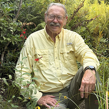
Ralph Tiner has more than 40 years of practical experience in wetland delineation and is a nationally recognized authority in the field. He recently retired from the U.S. Fish & Wildlife Service where he directed wetland mapping in the Northeast United States as part of the U.S. Fish & Wildlife Service’s National Wetlands Inventory (NWI). He is a nationally recognized expert on wetland delineation and has been actively involved in improving wetland delineation techniques for decades. In addition, he was compiler and principal author of the Federal Interagency Wetland Delineation Manual, which was published in 1989 and is the standard for identifying and delineating wetlands in New Jersey.
Read More About Ralph Tiner
Ralph has written extensively on the subject of wetlands and is the author of several field guides including: Field Guide to Non-tidal Wetland Identification, Maine Wetlands and Their Boundaries, A Field Guide to Coastal Wetland Plants of the Northeastern United States, and In Search of Swampland, as well as an update of the Wetland Indicators book entitled Wetland Indicators: A Guide to Wetland Formation, Identification, Delineation, Classification, and Mapping. His most recent books are: Tidal Wetlands Primer: An Introduction to Their Ecology, Natural History, Status, and Conservation and Remote Sensing of Wetlands: Applications and Advances (for which he is senior editor and authored several chapters).
In addition to writing about wetlands, he has been teaching wetland identification and delineation courses through the Rutgers Office of Continuing Professional Education Office since the mid-1980s.
Student Reviews
“Even though a lot of material is covered in a short amount of time, Mal and Ralph do a great job of teaching a comprehensive course.”
– Past Participant
“I just wanted to compliment Rutgers on such an excellent course: the professionals, the location, and the knowledge. It was fantastic and I truly enjoyed learning all of the ‘science’ and methodology behind what I have been taught to do over the past three (3) decades. I can’t tell you how many ‘light bulbs’ went off in my brain as I absorbed as much as I could. This is a course that I will be certainly recommending to others in the future. Well done.”
– Barbara Wolley-Dillon, Borough of Mantoloking
Most useful aspect of the course: “Quality of the information provided in regards to performing delineations accurately and quickly.”
– Past Participant
Continuing Education Credits
The most recent offering of Methodology for Delineating Wetlands was approved for 2.4 Rutgers CEUs (24 contact hours), as well as the following credits from professional organizations. We will reapply for similar credits the next time the course runs, but we cannot guarantee credit approval for future offerings.
 New Jersey
NJ Certified Public Works Managers (CPWM): 5 Technical, 5 Management, 2 Government Contact Hours
NJ Health Officers and Registered Environmental Health Specialists (HO/REHS): Rutgers University, NJAES, Office of Continuing Professional Education has been approved by the New Jersey Department of Health as a provider of NJ Public Health Continuing Education Contact Hours (CEs). Credits are pending.
NJ Land Surveyors (NJLS): 21.5 PDHs
NJ Licensed Site Remediation Professionals (LSRP): 9 Professional Development CECs
NJ Professional Engineers: 24 Continuing Professional Competency (CPC) credits
 New York
NY Landscape Architects: 14 Hours CL; 18.5 Hours EA
NY Professional Engineers/Land Surveyors: 12 Hours
 National
Society of Wetland Scientists Professional Certification Program (SWSPCP): 1.6 Equivalent Semester Hours
 Meals
Meals Technology Requirements
 Email Requirement
 Photo ID Requirement
 Cancellations and Substitutions
Attention U.S. Veterans
This course is approved by the New Jersey State Approving Agency for Veterans Training for educational benefits through the GI Bill®. Learn more.
GI Bill® is a registered trademark of the U.S. Department of Veterans Affairs (VA). More information about education benefits offered by VA is available at the official U.S. government website at http://www.benefits.va.gov/gibill.
Program Questions? We’re Here to Help!
If you have any questions about Methodology for Delineating Wetlands, please don’t hesitate to reach out to us.
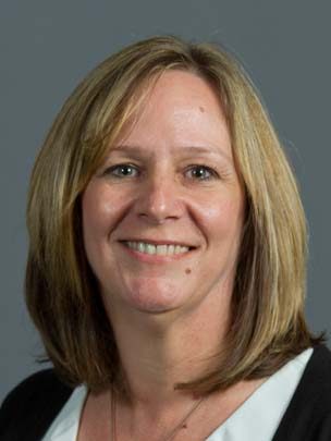
Senior Program Coordinator: Suzanne Hills
848-932-7234
suzanne.hills@rutgers.edu
For registration assistance, please contact our Registration Department at 848-932-9271, option 2 or email registration@njaes.rutgers.edu.